

Montgomery air quality map
Live air pollution map of Montgomery
2.8K people follow this city

Full screen


Contributors category
0
Government
0
Educational
0
Non-profit organization
0
Corporate
0
Individual
0
Anonymous
Station(s) operated by
*IQAir’s AQI data modeled using satellite data. Learn more
Health Recommendations
 | Enjoy outdoor activities |
 | Open your windows to bring clean, fresh air indoors GET A MONITOR |
Montgomery does not have air sensor data
Be the first to measure and contribute air quality data to your community.
News
The latest air quality news and resources.


Understand air pollution and protect yourself
Montgomery MAP AIR QUALITY ANALYSIS AND STATISTICS
How much interesting information about air quality is there on the air pollution map for Montgomery?
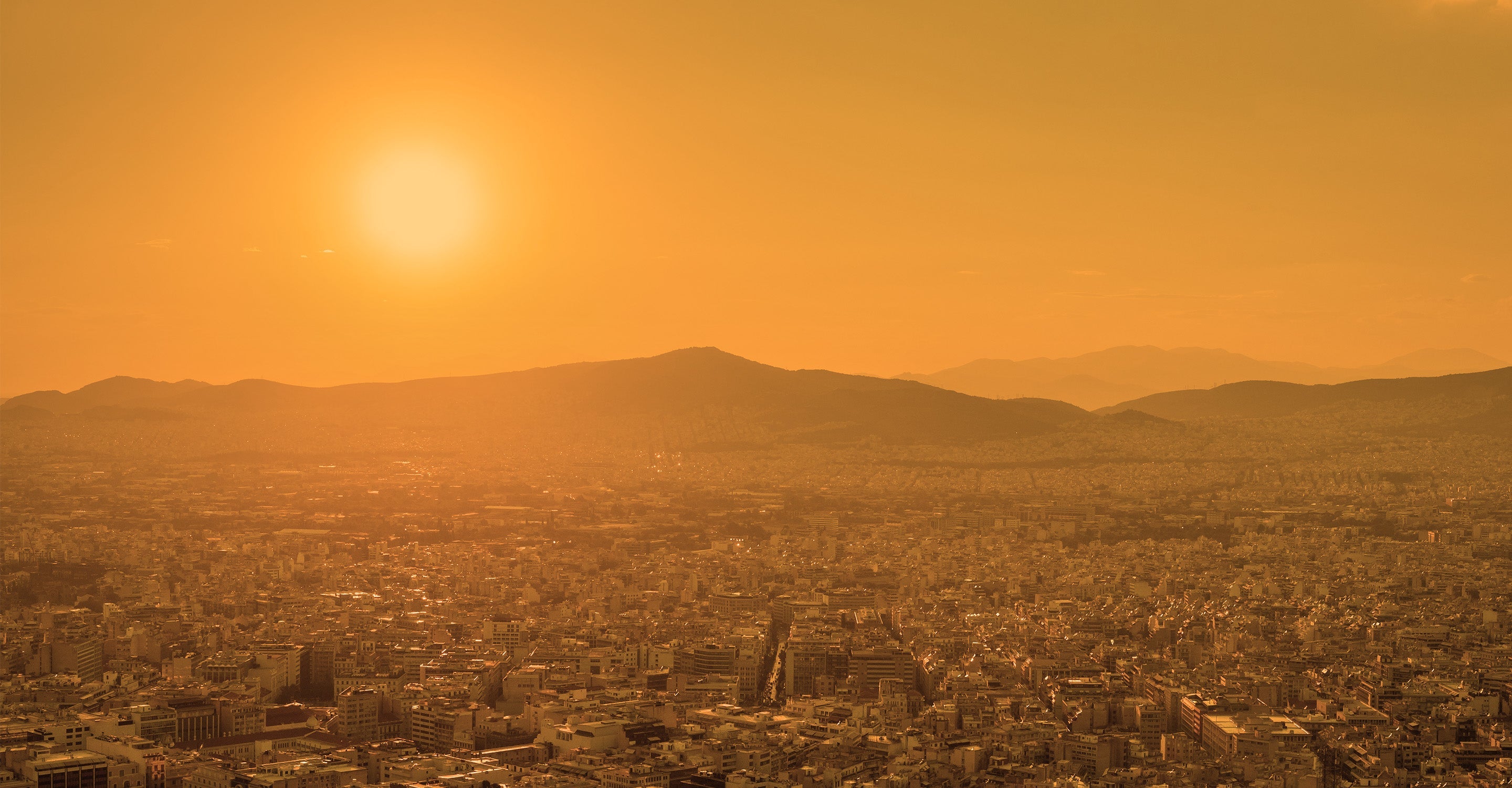
There is a great deal of extremely interesting information about air quality on the air pollution map for Montgomery which is very easy to access from the main city page. The air pollution map appears towards the top of the main page and acts as a link which will open a new set of pages with all the most up-to-date information.
The powerful colouration of the map will be the first thing to notice because it is a direct indication of the current level of air pollution. Colours vary between pale green and dark maroon and are standard across the whole IQAir website. The full meaning of the various colours can be seen in the legend at the bottom of the page.
There might be several coloured discs strewn across the map which represent the sites of the ground-level air monitoring stations in and around the city. It would appear that Montgomery has just one station which is confirmed by looking just underneath the map where all the contributors are listed, together with the number of stations they operate.
At the centre of each disc is a number which is the United States Air Quality Index reading or US AQI for short. It is calculated by measuring the levels of up to six of the most commonly found pollutants in the city air. They are usually both sizes of Particulate Matter (PM2.5 and PM10), ozone, nitrogen dioxide, sulphur dioxide and carbon monoxide.
Once the reading has been authenticated it is used when comparing levels of pollution in towns and cities all over the world. This entire system has the full backing of the World Health Organisation (WHO). Each station holds a lot of information about the air quality in that specific part of the city. This can be invaluable when travelling around the city.
Briefly looking back at the main city page, it can be seen in the coloured banner across the top of it that Montgomery was enjoying a period of “Good” quality air with a US AQI reading of 36 which is classified as being “Good”. The green background colour of the banner visually reveals this level, too. The main pollutant was found to be PM2.5 with a recorded level of 8.7 µg/m³ (microns per cubic metre). At this level, it is just under twice the suggested target level of 5 µg/m³ as recommended by the WHO.
Just below the air pollution map for Montgomery can be seen the number of contributors there are that supply the data about air quality. There is currently just one contributor which is a governmental department operating the station called the Alabama National Guard.
Is there much more information about air quality on the air pollution map for Montgomery?
There are a lot more interesting facts and figures about air quality on the air pollution map for Montgomery. To take full advantage of this, the page needs to be viewed at maximum size. This is achieved by clicking the full-screen icon at the top of the page which will reopen it at full-size.
When the page has reopened, there will be a list of four options down the left-hand side of the screen. These can each be disabled to get a better idea of the effects they have on the map.
The first option shows the whereabouts of the ground-level air monitoring stations in and around the city. By expanding the map, there will be other stations that come into view that are in other areas but still of great interest.
The second option discloses the location of any wildfires there are that happen to be burning out of control in the area. At the beginning of June 2023, there were no reports of any wildfires in the immediate vicinity but there were some to the south and to the east. Option four should then be consulted because it shows the speed and direction of the prevailing winds and will give a good signal of where the smoke might blow.
The third option changes the colour of the map to visually show the current level of air pollution. when the air quality is good, the colours will be pale but will get darker as the air quality worsens. If the darker colours are too distracting, then the option can be disabled and the map will revert to a standard colouration.
Looking just below the air pollution map for Montgomery can be seen the stations that are situated in the most polluted part of the city, based on their US AQI reading. There is also a section which lists the most popular station according to the number of followers they have. Both these accolades belong to the Alabama National Guard station because it is currently the only one.
Can the source of the polluted air be identified on the air quality map for Montgomery?
Whilst the source of the polluted air cannot be identified from the air quality map for Montgomery it is proven that many sources are responsible for worsening air quality. These include coal-fired power stations, factories, vehicle emissions and trains. In fact, any combustion of fossil fuels increases the level of air pollution.
What are PM2.5 and PM10 which are often quoted on the air pollution map for Montgomery?
Airborne particulate matter is defined as a suspension of relatively stable solid or liquid particles in the surrounding air. This suspension can consist of a variety of particles of different size and composition depending on their origin. The particles emitted directly into the atmosphere are called primary, while those that are formed in the atmosphere are called secondary.
The main anthropic sources of primary particles are combustion processes in domestic heating systems fuelled by woody biomass, vehicles equipped with internal combustion engines and industrial activities.
Particles in the diameter range between 0.01 and 100 microns are those of greatest danger because of the possibility of being inhaled.
Various epidemiological studies on the health effects of particle air pollution have highlighted associations between mass concentrations of PM10 and an increase in both mortality and hospital admissions for cardiac and respiratory diseases. The subjects considered most exposed to these effects are in particular the elderly, children, people with chronic cardiopulmonary diseases and affected by flu or asthma; on them are concentrated increases in mortality and serious pathological effects following acute short-term exposures. Further evidence has emerged considering the long-term health effects resulting from exposure to low concentrations of PM10.
Stay Informed. Download #1 air quality app
Air pollution forecast, pollution alerts and much more to help you plan your days and keep protected against air pollution


