

2.4K people follow this city

Full screen


Contributors category
0
Government
0
Educational
0
Non-profit organization
0
Corporate
0
Individual
0
Anonymous
Station(s) operated by
*IQAir’s AQI data modeled using satellite data. Learn more
Health Recommendations
 | Enjoy outdoor activities |
 | Open your windows to bring clean, fresh air indoors GET A MONITOR |
Kacanik does not have air sensor data
Be the first to measure and contribute air quality data to your community.
News
The latest air quality news and resources.


Understand air pollution and protect yourself
Kacanik MAP AIR QUALITY ANALYSIS AND STATISTICS
What type of interesting information about air quality can be found on the air pollution map for Kacanik?
On the main city page can be seen the air pollution map for Kacanik and clicking on the symbol will encourage a new page to open which contains all the latest relevant information about air quality.
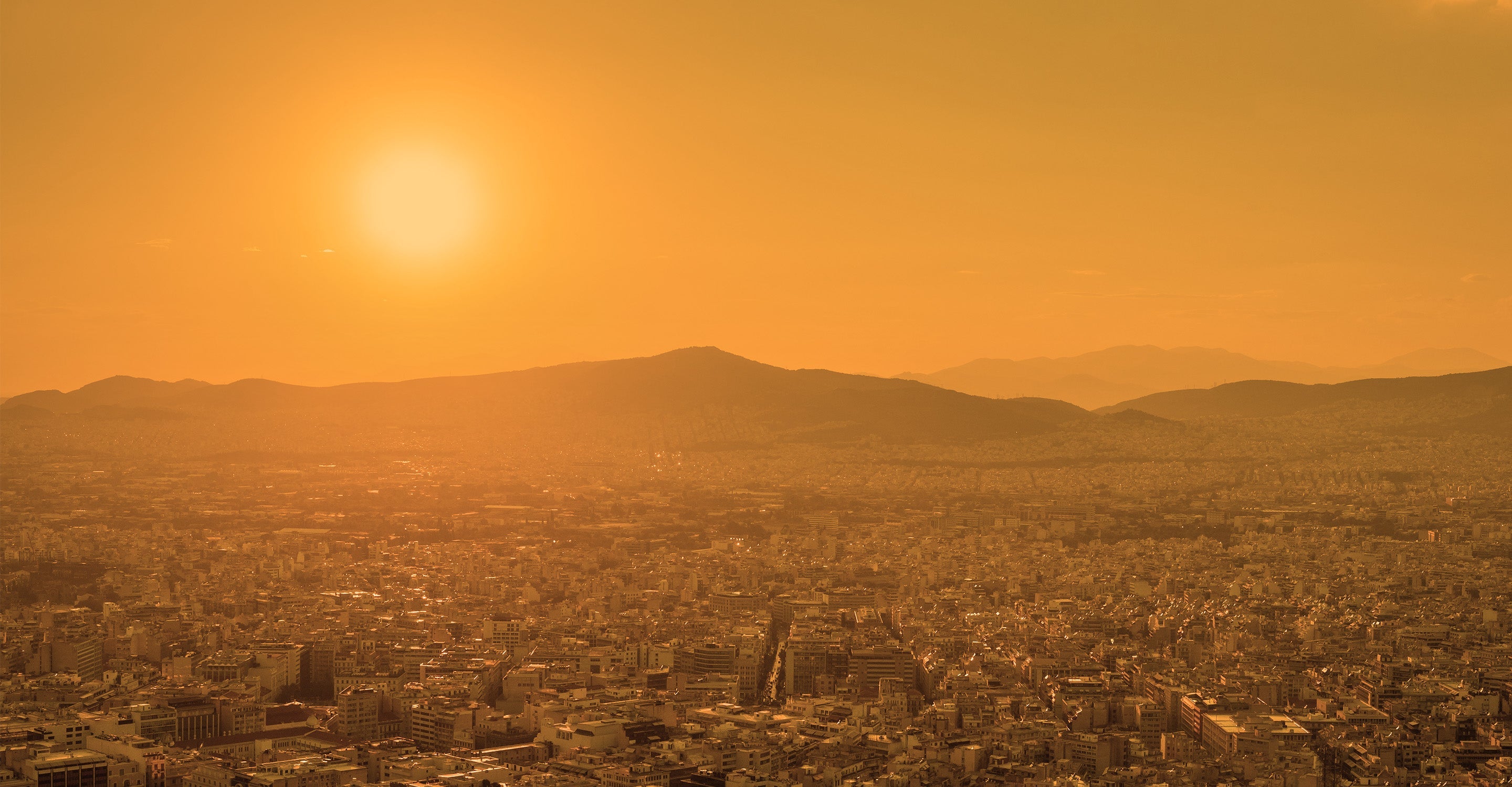
When the new page first opens, the viewer might be surprised at the use of colour on the map. This colour is a visualisation of the current state of the air. Pale green shows “Good” air quality and the colours darken as the quality gets worse. Dark maroon shows the quality to be as bad as it can get. These colours are used as a standard throughout all of the IQAir website. At the time of writing, the map is a dark yellow colour which indicates “Moderate” air quality.
There will usually be some coloured discs spread across the map which reveal the locations of the ground-level air monitoring stations. However, not all cities have such physical stations and rely on data supplied by overhead satellites instead and Kacanik is one of those cities. The closest monitoring stations are around Skopje to the south of the city.
Going back to the main city page within the coloured banner across the top of it is the US AQI (United States Air Quality Index) reading. The asterisk on the right-hand side of the figure shows that it is calculated using satellite imagery.
It is calculated by taking measurements of six of the most common pollutants found in the city air. These pollutants are usually both sizes of Particulate Matter (PM2.5 and PM10), ozone, nitrogen dioxide, sulphur dioxide and carbon monoxide. The reading at the end of the first quarter of 2023 was 89 which is classified as being “Moderate”. The main pollutant was identified as being PM2.5 with a recorded level of 30.2 µg/m³ (microns per cubic metre). This is six times higher than the suggested target figure of 5 µg/m³ as recommended by the World Health Organisation (WHO). This internationally recognised body endorses the use of the US AQI measurements. The figure is then used when making comparisons between different locations across the globe.
Is there any more fascinating information about air quality on the air pollution map for Kacanik?
There are still a lot more brilliant facts and figures pertaining to air quality on the air pollution map for Kacanik, but the page needs to be viewed in full-screen mode for all of this to be visible. An icon will be seen at the top of the page which will re-open it at maximum size.
Four options should now be visible on the left-hand side of the screen. These can each be turned on or off individually so that the effect they have on the map can be seen.
The first choice would show the locations of the ground-level air monitoring stations, if there were any. As already stated, Kacanik relies on satellite modelling for its data about air quality.
Option number two shows the locations of any wildfires there are that might be burning in the vicinity. At the time of writing in mid-March 2023, there were no icons on the map showing such locations. If fires are detected, then option number four needs to be consulted because it shows the speed and direction of the prevailing winds and will give a good indication of where the smoke will blow.
The third option uses colour to visually show the current air quality. When the air quality is poor, the map will take on a very dark colour which might be confusing or distracting in which case the option can be deactivated which will remove the intense colour from the map, and it will return to a more acceptable light-coloured hue.
There are some more facts and figures on the right-hand side of the screen where a table will be found. This ranks the top seven most polluted cities in the world and displays them in descending order. When opening the full-ranking page it will display the rest of the participating world cities in their order of cleanliness.
Is the source of the polluted air shown on the air quality map for Kacanik?
For several years now, air pollution in Kosovo has become a growing health hazard, with domestic heating, road transport, energy production, industrial processes, and municipal and agricultural waste being the main culprits.
Given the monitoring of air quality in Kosovo, the existing thermal power plants and the energy sector are ranked as the biggest polluters and it is very necessary to have greater investments in renewable resources.
The problem of air pollution gets worse during the colder months because the residents use poor quality coal and damp wood as a heating source for their homes. Both items are considerably cheaper than alternatives which are less pollutive, such as dry wood and higher quality coal.
Particulate matter (PM) is a standard measure of air pollution. These pollutants affect people more than any other pollutant. The main components of PM are sulphates, nitrates, ammonia, sodium chloride, carbon black, soot and mineral dust. They consist of a complex mixture of particulate and liquid matter of organic and inorganic substances dispersed in the air. There is a close quantitative relationship between exposure to high concentrations of particulate matter (PM10 and PM2.5) and increased mortality or morbidity, both daily and over a period of time.
PM2.5 is always quoted on the air quality map for Kacanik, but why is it so dangerous?
PM2.5 particles can penetrate the lung barrier and enter the blood system. Chronic exposure to particles contributes to the risk of accelerated ageing of the lungs, the loss of lung capacity, the reduction of their functioning, as well as the development of diseases such as asthma, emphysema, bronchitis, lung cancer, brain damage, as well as and ischemic heart disease (IHD) and stroke as the leading causes of death. Symptoms such as coughing, phlegm, wheezing, tightness in the chest, chest pain, palpitations, shortness of breath and unusual fatigue are the most common symptoms in people affected by air pollution from these particles.
Stay Informed. Download #1 air quality app
Air pollution forecast, pollution alerts and much more to help you plan your days and keep protected against air pollution


