

Aligarh air quality map
Live air pollution map of Aligarh
1.7K people follow this city

Full screen


Contributors category
0
Government
0
Educational
0
Non-profit organization
0
Corporate
0
Individual
0
Anonymous
Station(s) operated by
*IQAir’s AQI data modeled using satellite data. Learn more
Health Recommendations
 | Sensitive groups should reduce outdoor exercise |
 | Close your windows to avoid dirty outdoor air GET A MONITOR |
 | Sensitive groups should wear a mask outdoors GET A MASK |
 | Sensitive groups should run an air purifier GET AN AIR PURIFIER |
Aligarh does not have air sensor data
Be the first to measure and contribute air quality data to your community.
News
The latest air quality news and resources.


Understand air pollution and protect yourself
Aligarh MAP AIR QUALITY ANALYSIS AND STATISTICS
When talking about air quality, what information is available on the air pollution map for Aligarh?
The air pollution map for Aligarh is easy to access from the main city page. The map icon will be seen at the top of this page and by selecting it, a new page will open which is filled with information about the current state of the air.
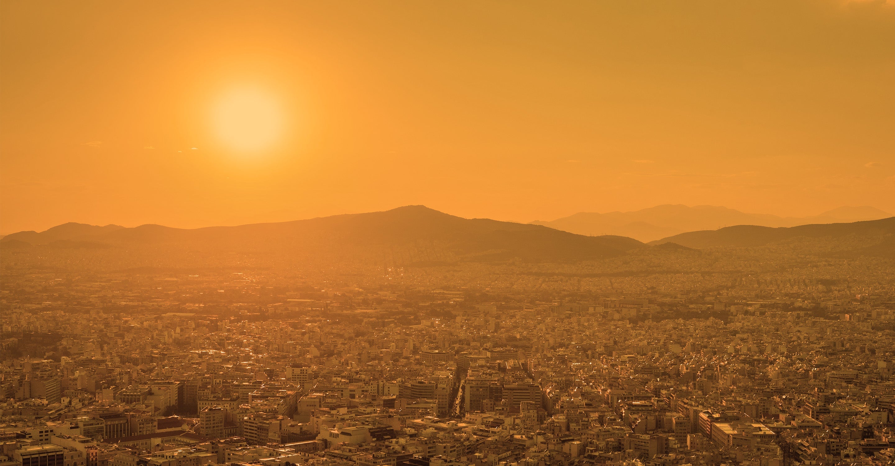
The first thing a viewer will notice about the map is the overall colour. Currently, the air quality is not very good and this is reflected in the background colour of the map. It is a dark orange/brown which indicates very poor air quality. The colours range from pale green to dark maroon where the darker colour represents worsening air quality. These standard colours are used throughout the entire IQAir site. Very often there will be many coloured circles or discs scattered across the map. When the map is slightly expanded, most of these discs can be seen over New Delhi but there are none over Aligarh because not every city has physical monitoring stations and Aligarh is one city that relies on overhead satellites for its data on air quality.
The colour of the discs also represents the state of the air in that particular area. They each display a number which is the United States Air Quality Index reading or US AQI for short. This figure is calculated by taking the measurements of up to six of the most commonly occurring pollutants found in the city air. These are usually both sizes of Particulate Matter (PM2.5 and PM10), ozone, nitrogen dioxide, sulphur dioxide and carbon monoxide. Once a figure has been established, it can be used as a metric when making comparisons about air quality in different cities across the globe. It is endorsed by the World Health Organisation (WHO).
Looking back at the main city page, it can be seen in the coloured banner at the top of the page that in December 2022, Aligarh was enduring a period of air quality that is classified as being “Unhealthy for sensitive groups” with a US AQI reading of 135. The main pollutant was PM2.5 with a recorded level of 49.2 µg/m³ which is almost ten times the target figure of 5 µg/m³ as recommended by the WHO.
Is there much more exciting information about air quality on the air pollution map for Aligarh?
There is a lot more interesting information about air quality on the air pollution map for Aligarh but the page needs to be viewed in full-screen mode to see all sections. This is easy to achieve because the full-screen icon can be found at the top of the first page. Once selected all the information will become visible on both sides of the page.
On the left-hand side of the page is a list of four options, each of which can be turned on and off to get a better idea of the effect on the map each one has.
The first option shows the location of all the ground-level air monitoring stations there are in the area. They might not be directly over Aligarh but there are very many over New Delhi. Each station can be explored further by selecting the coloured disc.
The second option shows the position of any wildfires there are that happen to be burning in the vicinity. In early December 2022, there were no fires reported in the area. If any fires were detected then option four needs to be consulted because it shows the speed and direction of the prevailing winds and will give a good indication of where the smoke from the fire might blow.
Option three is the most dramatic as it changes the background colour to reflect the current air quality. It is currently a very dark orange/red which shows the viewer that the air quality is very very poor. It could be classified as being “Unhealthy for sensitive groups”. This option can be deactivated and the intense colour on the map will be removed and it will revert to a more natural set of colours.
The rest of the interesting information can be seen on the right-hand side of the screen. Here is a table which shows the ranking of the top seven dirtiest cities in the world. It can be explored further by looking at the full ranking which will open another page with all the participating cities listed in descending order.
Is it possible to see the source of the polluted air on the air quality map for Aligarh?
It is not possible to see the source of polluted air on the air quality map for Aligarh, but it is known that the major sources for pollution are dust blowing from dilapidated roads, burning of straw and the use of dung, wood and coal in the kitchen for cooking. To alleviate this situation, the Regional Pollution Control Officer said that the commissioner has ordered a ban on the sale of firewood and coal. It is also said that along with this ban, orders have also been given to identify the families cooking with wood and coal so that environmental pollution can be stopped by providing LPG to them.
Other proposals include continuous checking of pollution in vehicles and the banning of large heavy vehicles from the city centre. Garbage should not be disposed of by burning it and water should be sprinkled on dusty intersections to stop the dust from rising. Any transportation of loose materials must be covered whilst moving between areas.
PM2.5 is always mentioned on the air pollution map for Aligarh, but where does it come from?
Particulate matter comes in different sizes and can be caused by both human and natural sources, but humans are the main cause. These sources can be seen in two ways, primary sources and secondary sources. Primary sources include automobile emissions, dust and smoke from cooking. Secondary sources of pollution may also result from a complex reaction of chemicals such as sulphur dioxide and nitrogen oxides. These particles get dissolved in the air and pollute it. Apart from this, due to fire in the forest, burning of wood, agricultural burning, the smoke of industrial companies, and dust generated from construction work mixes in the air, pollution from such sources increases.
Stay Informed. Download #1 air quality app
Air pollution forecast, pollution alerts and much more to help you plan your days and keep protected against air pollution


