

Bhubaneshwar air quality map
Live air pollution map of Bhubaneshwar
29K people follow this city

Full screen


Contributors
1
Stations
1
Contributors category
1
Government
0
Non-profit organization
0
Educational
0
Corporate
0
Individual
0
Anonymous
Most polluted air quality stations
| # | station | US AQI |
|---|---|---|
| 1 | Lingraj Mandir, Bhubaneswar - OSPCB | 154 |
community highlight
Bhubaneshwar most followed contributors
Health Recommendations
 | Avoid outdoor exercise |
 | Close your windows to avoid dirty outdoor air GET A MONITOR |
 | Wear a mask outdoors GET A MASK |
 | Run an air purifier GET AN AIR PURIFIER |
Become a contributor
Get an AirVisual Outdoor and contribute to collecting millions of data points for the Bhubaneshwar map to track local air pollution
News
The latest air quality news and resources.


Understand air pollution and protect yourself
Bhubaneshwar MAP AIR QUALITY ANALYSIS AND STATISTICS
What information regarding air quality can be found on the air pollution map for Bhubaneshwar?
Once on the main city page, it is very easy to find the air pollution map for Bhubaneshwar as it is positioned towards the top of the opening page. Clicking anywhere on the map will open a new page which is dedicated to air quality and is full of information about the city and its environs.
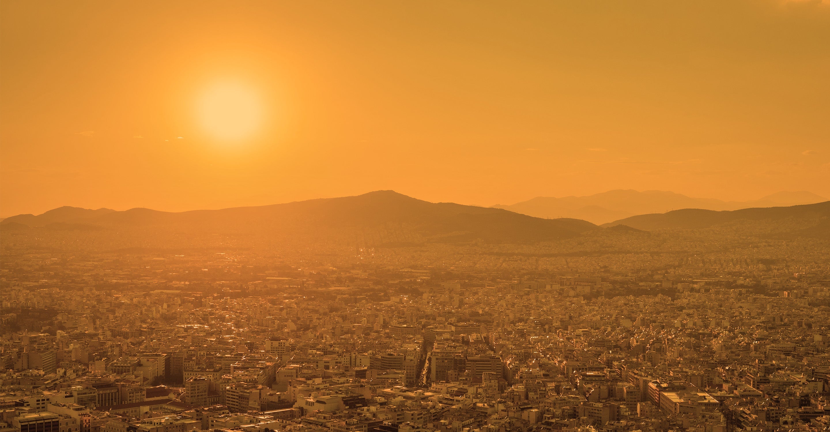
The colour on the map currently is a dark yellow which indicates “Moderate” air quality. The colours range from pale green to dark maroon and a full explanation of their significance can be found in the legend at the bottom of the page.
Usually, the viewer will see some coloured discs spread across the page which represent the position of the ground-level air monitoring stations. However, not all cities have these ground-level stations and have to rely on satellite data instead. Bhubaneshwar is one of these cities that uses satellite data for its air quality calculations. On the main city page to the right of the US AQI number will be an asterisk which denotes that the information does indeed come from overhead satellite imagery.
This US AQI number is very important as it is calculated by measuring up to six of the most prolific air pollutants found in the city air. These are often Particulate Matter (PM2.5 and PM10), ozone, nitrogen dioxide, sulphur dioxide and carbon monoxide. Once established it is used as a metric when making comparisons with other cities across the world. It is both encouraged and endorsed by the World Health Organisation (WHO). In September 2022 the city was experiencing a period of “moderate” air quality with a US AQI reading of 83. The main pollutant was found to be PM2.5 with a recorded level of 27.2 µg/m³. This figure is almost five and a half times higher than the recommended target figure of 5 µg/m³, as suggested by the WHO.
Is any other valuable information available on the air pollution map for Bhubaneshwar?
In order to gain full access to all other information, the map needs to be viewed in full-screen mode. Only then will the full range of options appear as a drop-down list on the far left-hand side of the page. This list of four options can be toggled on or off, as desired to make it easier to comprehend.
The first option would normally show the position of the ground-level monitoring stations, but as already stated, Bhubaneshwar relies on satellite information to calculate its air cleanliness so there are none to see.
The second option will show the position of any wildfires which may be burning in the vicinity. In September 2022, there were a few fires burning in the north west of the city but they are far enough away so as not to affect the air quality in the city. Also, by consulting option four which shows the wind speed and direction it can be seen that the wind would blow the smoke away from the city.
Option three is the most surprising as it changes the background colour to reflect the overall air quality. It is currently a darkish yellow which does indicate “Moderate” air quality. Sometimes this overall colour may be a little overpowering in which case it can be deactivated and the colour will revert to a more subdued palette.
The remaining information revealed on the map is over on the right-hand side of the page. Here is found a table which ranks world cities according to the level of air pollution.
Can areas of higher pollution be identified on the air quality map for Bhubaneshwar?
Because satellite data covers a large area, it is not possible to differentiate between smaller areas. The entire city and its surrounding area are looked at as one.
Generally speaking, the industrial zones often show elevated levels of pollution due to the nature of their businesses and some city centres show elevated levels too due to the high volume of traffic using the road network.
Is it possible to identify the source of the air pollution from the air quality map for Bhubaneshwar?
By studying the air pollution map for Bhubaneshwar, it is not possible to ascertain the source of pollution, however, the rapid increase in the number of vehicles in the capital region is being cited as the reason for the increase in the amount of PM10 in the air. These days, long queues of vehicles are being seen at almost every intersection of the city, which is a matter of concern. This is not only causing traffic problems but the atmosphere is also getting polluted due to their exhaust fumes.
An increase in the amount of PM10 in the city's atmosphere suggests that the air is not breathable. This air is considered extremely dangerous for respiratory patients, heart patients and patients suffering from liver problems. Apart from this, the situation cannot be said to be favourable for children and the elderly.
With a population of 838,000, Bhubaneswar is focusing on increasing active mobility such as walking and cycling and improving the public transport network under the Smart City plan. Bhubaneswar Municipal Corporation has set up a solid waste initiative, which includes community engagement and door-to-door collection of separate waste for wet and dry waste, periodic road cleaning to reduce dust and a waste-to-energy plant in Bhubaneswar which includes installation. The city has also taken strict measures against open burning to reduce air pollution caused by the burning of agricultural and solid waste.
PM2.5 is used as a benchmark on the air pollution map for Bhubaneshwar, but how dangerous is it?
Due to the increasing number of vehicles and the decreasing number of trees, the type and intensity of pollution is increasing every year. Air pollution reaches very dangerous levels in cities like Bhubaneshwar. The reason for this is PM2.5 and PM10 particles present in the air. These particles cause great harm to everyone's health. When the level of these particles increases in the air, then difficulty in breathing, burning in the eyes etc.
The particles present in the air are so small that you cannot even see them with the naked eye. Particulate pollution includes PM2.5 and PM10 which are very dangerous. PM2.5 refers to atmospheric particulate matter with a diameter of less than 2.5 micrometres, which is about 3% of the diameter of a human hair. Generally, PM2. 5 particles are so small that they can only be detected with the help of an electron microscope. They are also smaller than their PM10 counterparts. PM10 are those particles whose diameter is 10 micrometres and they are also called fine particles.
Bhubaneshwar air quality data attribution
1Contributor
 Central Pollution Control Board
1 station
Government Contributor
1 Data source
Where is the cleanest air quality in Bhubaneshwar?
Stay Informed. Download #1 air quality app
Air pollution forecast, pollution alerts and much more to help you plan your days and keep protected against air pollution


